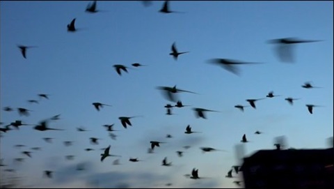
New citizen science mapping tool to combat invasive bird species
Published on January 31, 2024

LĪHU‘E – In an initiative to address the growing concern and negative impacts of invasive rose-ringed parakeets on Kaua‘i, the Office of Economic Development has announced a new citizen science mapping tool has been created to engage the local community and visitors in tracking and gathering data on these avian pests.
The initiative, led by the Kaua‘i Rose-Ringed Parakeet Working Group, aims to monitor bird sightings and inform on population management measures to reduce the spread of this invasive bird species, which poses a significant threat to the agriculture sector and the delicate ecological balance of Kaua‘i.
Key features of the citizen science mapping tool include:
- User-Friendly Interface: The mapping tool boasts a user-friendly interface that allows residents and enthusiasts of all ages to contribute valuable data effortlessly.
- Real-Time Reporting: Participants can report sightings of invasive bird species in real time, providing crucial information to scientists, conservationists, and local authorities.
This effort builds off previous initiatives aimed at understanding rose-ringed parakeet behaviors, conducting pilot field studies to evaluate control tools, and developing effective management plans. Beginning in 2020, the County of Kaua‘i has overseen successful periodic culling operations at known roosting areas.
"The Kaua‘i Rose-Ringed Parakeet Working Group is thrilled to launch this citizen science mapping tool as part of our collaborative commitment to managing this invasive species,” said Nalani Brun, director of the Office of Economic Development. “By involving the community and visitor industries in tracking this invasive bird species, we can collectively take meaningful steps toward preserving Kaua‘i's unique biodiversity and supporting the sustainability of our agriculture sector. We encourage everyone on the island to join us in this important initiative and positively impact our community."
Residents, local businesses, and visitors interested in participating in the citizen science mapping initiative can visit https://arcg.is/zHaTH0 or scan the QR code below to access the tool and begin mapping their observations.

For more information, please contact OED’s Agriculture Specialist Niki Kunioka-Volz at 808-241-4951 or nkvolz@kauai.gov.
###